


Mapping and location intelligence with ArcGIS: field data collection, asset maps, coverage and site planning, and live location dashboards.
Plan branches, routes and coverage from real data.
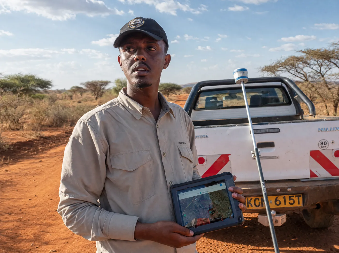
Teams capture data in the field that appears on the map.
Shared with staff, partners, donors or the public.
The problem
Field teams fill paper forms that get typed up weeks later. Donors ask where the programme actually reaches, and the answer is a list of village names. Planning a new branch or delivery route is guesswork.
What changes
Field staff capture data on a phone, even without signal, and it appears on a shared map when they reconnect. Assets, coverage and sites sit on one map anyone on the team can read. Dashboards show progress by area. Maps can be shared with donors or partners by private or public link, or placed inside your app, site or Power BI.
Field teams capture on a phone; it lands here.


Borehole KW-114, Garissa
Needs repair: pump fault
Visited 12 Sep, synced from offline
Why QuickTap
Patchy signal is normal where your teams work, so offline capture comes as standard. The same team builds the dashboards and apps the maps sit inside.

Data & Automation
Numbers you trust, work that runs itself.
After launch
Included in every project
After launch, choose one. It is required.
ManagedMost choose this
Setup fee + monthly
We host, maintain, secure and support it. Updates and fixes included.
Full handoverOne-time package
One-time fee
You own and run it. We transfer everything and train your team.
Live dashboards for sales, stock and finance.


Portals, dashboards and internal tools built around you.


iOS and Android apps, built once and shipped to both stores.


A free call. You leave with an approach, a timeline and a price range.